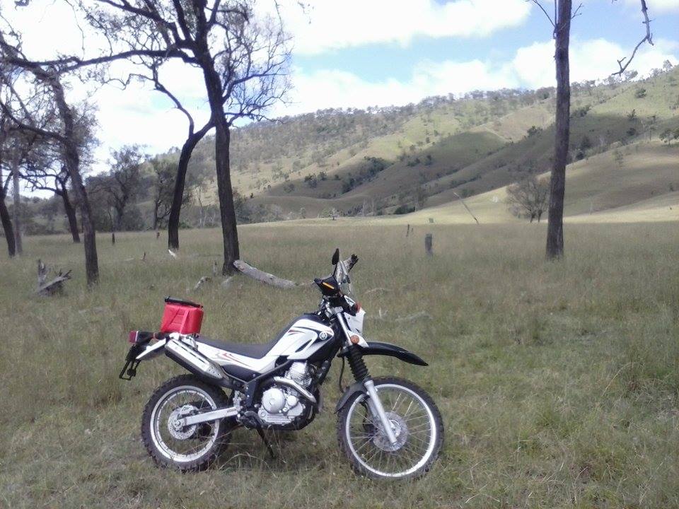
After knocking off my first double century on Boxing Day a few years ago, i've made it a tradition to take on big rides the day after Christmas. With the lack of riding throughout 2015 though, even a century on the bike would have been a very tall order, so i compromised by taking the Yamaha (at least it still has 2 wheels). At this point i should mention that i had failed to charge my proper camera, so i didn't even get a single photo on it, and had to rely on my below average phone instead.
In the spirit of a proper big ride, i set off at dawn, and while the sky looked rather ominous above Mt Cooroora-
In the spirit of a proper big ride, i set off at dawn, and while the sky looked rather ominous above Mt Cooroora-
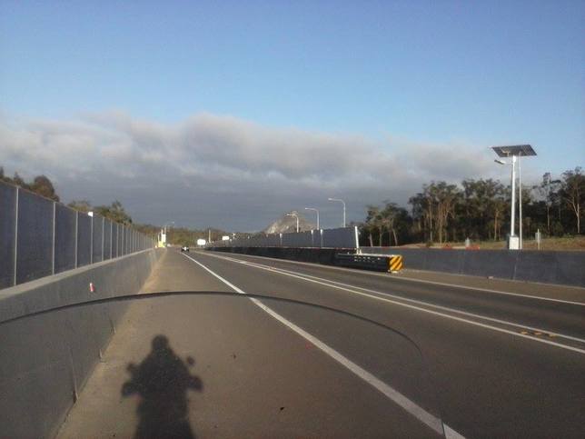
It soon cleared up to a beautiful day.
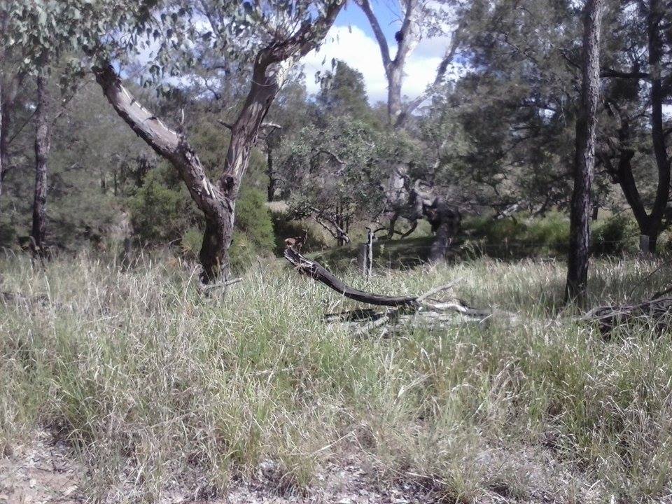
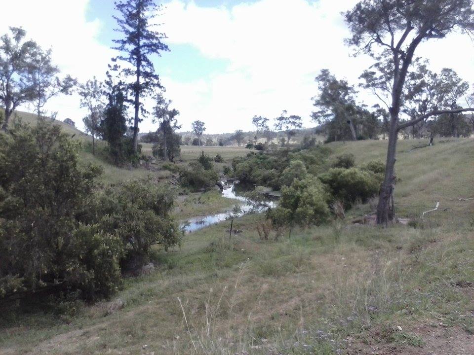
The plan was to go through Southside at Gympie (which to my eternal annoyance is actually West of Gympie, not South!) to Woolooga, thereby substituting a fair chunk of highway with quiet backroads. I missed the turnoff though, and ended up in the Pie Creek area. This was a blessing in disguise, as i've wanted to explore both Eel Ck and Pie Ck for quite some time, as it was the hideout for a local bushranger back in the gold rush days.
The "impenetrable scrub" has long gone but it is still a very attractive spot.
Unfortunately it is not a through road, so back to Gympie i went and then up the Bruce and Wide Bay Highways out to Goomeri. The country between Chatsworth and Kilkivan isn't quite my cup of tea, and neither is sitting on a very buzzy 100kmh on the 250, so this stretch was a bit dull. After filling the tank at the pleasant little servo (for just $8.74) i headed for my intended destination of Gayndah, but a roadsign reading "106kms" cut that short. I knew Gayndah was a long way from anywhere but a 212km round trip is quite a lot indeed.
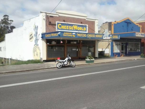
So i headed back to Goomeri, stopping for a photo at "Cheese World" (sadly closed).
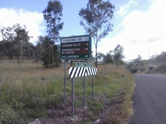
And then it was off to Kinbombi Rd, which i was hoping would provide a scenic and easy route through to Manumbar and, in turn, Mt Stanley. I wasn't expecting to see directions to a waterfall though.
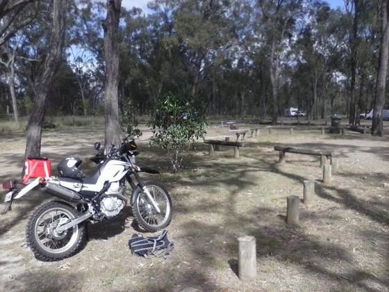
I envisaged an unremarkable creek with a few rocks in it, and to my delight was instead presented with a lovely shaded campground, a large gorge and multiple rockpools with resident turtles.
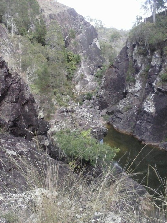
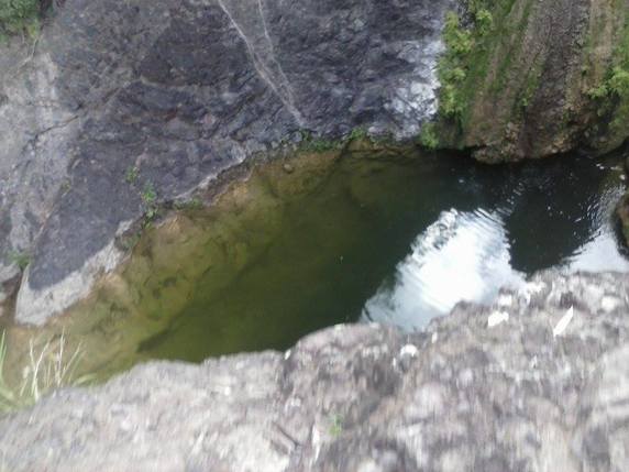
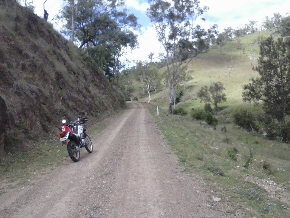
The falls themselves were just a trickle in spite of the recent rain, but it was still a delightful stop. Equally pleasant was the high country from Kinbombi through to Manumbar, a bit dry in places but very scenic.
Not far from Manumbar a wild deer trotted across the road ahead of me, and stood near a creek beside the road as i took a photo. (She is just above the left end of the log in the foreground)
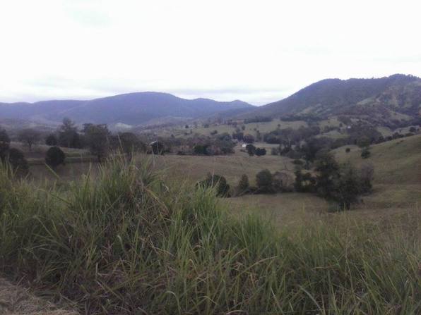
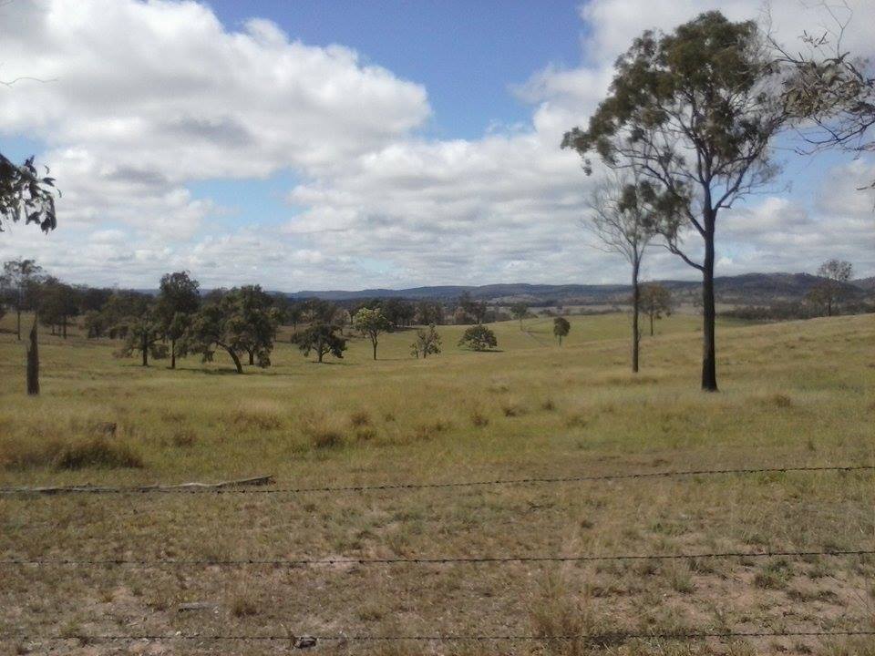
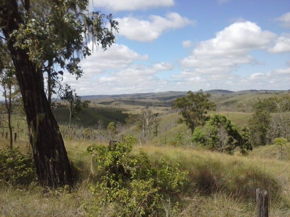
In due course i was through Manumbar and Elgin Vale to the Mt Stanley turnoff, and it was everything i had hoped for. The ~100,000 acres of land in the valley above Linville is beautiful at any time but when the whole area is covered with lush green grass it is absolutely stunning.
(note the phone camera depicts colours in very bland tones, so try and imagine all these photos with much richer colours)
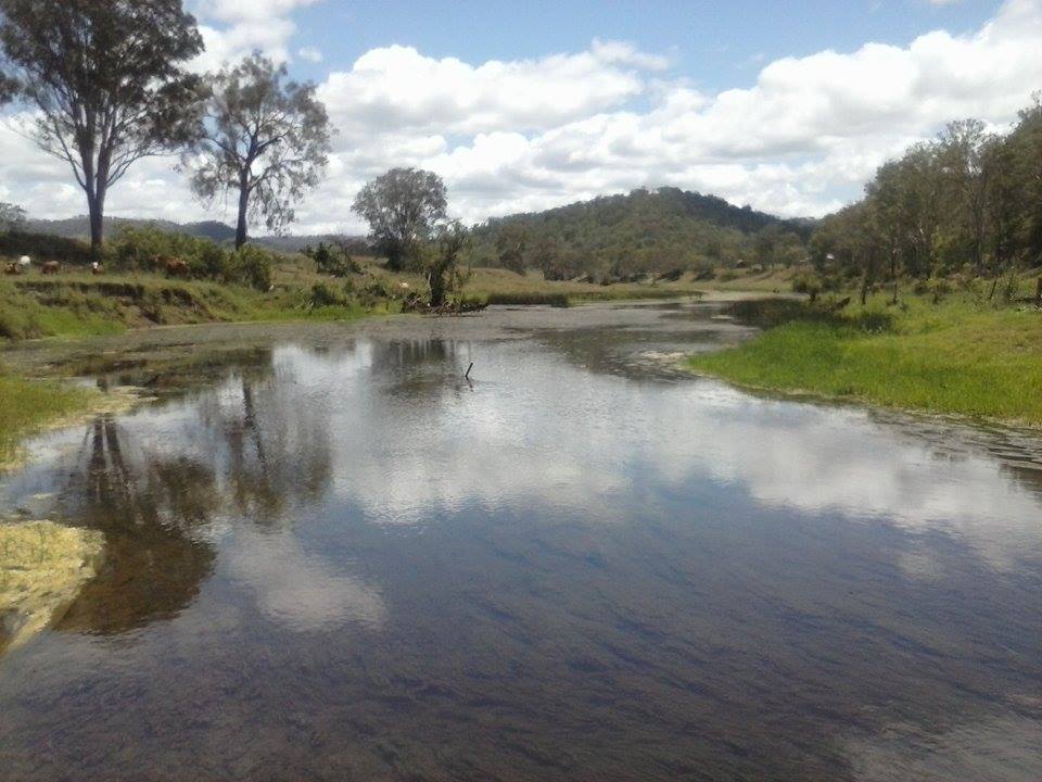
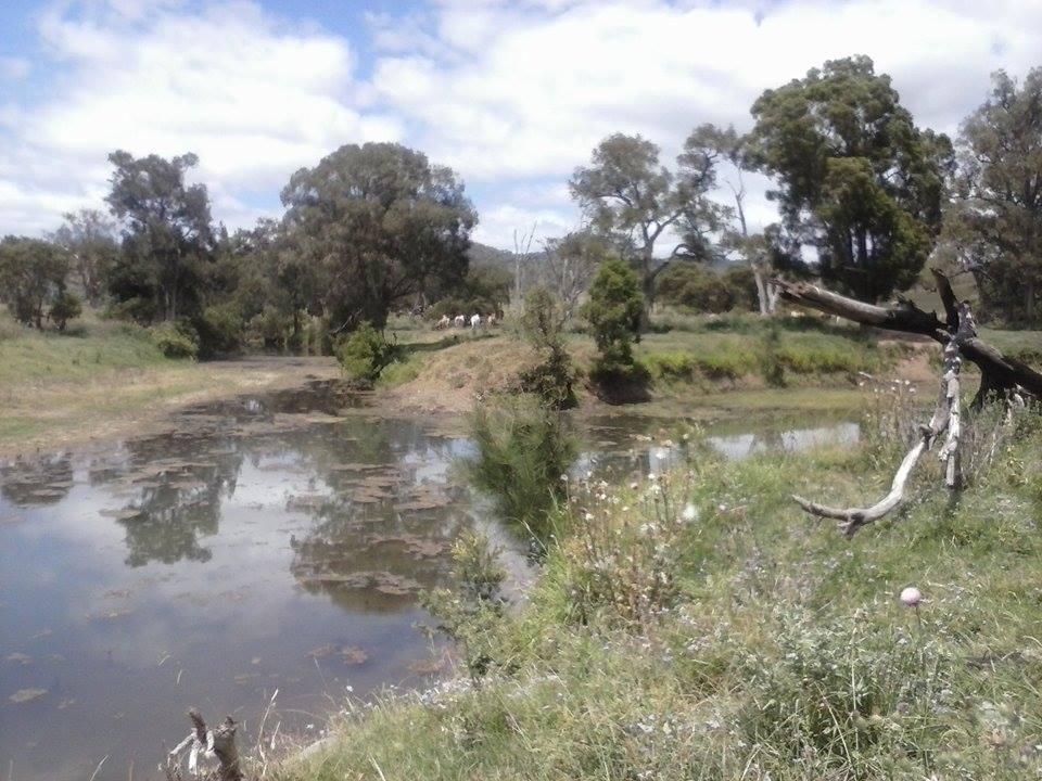
The last 2 photos are both of the Brisbane River above Linville, and show just how much it grows over a short distance. I made a point on this trip to take the short detour off the main road to the junction of the East and West Branches, the start of the Brisbane River proper.
Just a few kms south of that is Linville, and by that point there are too many people for my liking so the rest of the trip was just a matter of getting from A to B. Sooner or later i will make enough to own a station north of Mt Stanley and can bid adieu to the appallingly overdeveloped coast.
Part 2 to come tomorrow.
Fair Winds,
LDR.
 RSS Feed
